What is Photogrammetry?
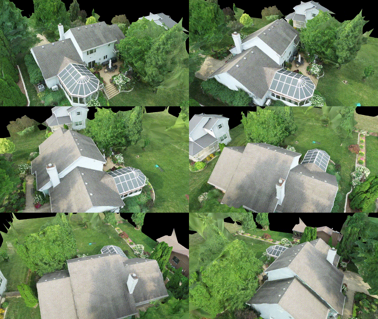
One of the services I offer is 3D Photogrammetry. What is Photogrammetry you ask? Basically, at the scale of a house or building, a Drone flies about the structure taking photos incrementally in a grid pattern. Typically they are taken from about 100ft above depending on obstructions, like trees. The photos are loaded into software that use the relationships between the photos to compute a 3d model. Since the photos are normal photos, the software can also add textures to make the model photo realistic.
Here is an example model of a property in Peoria.

So why would I want a 3d model of a property?
A 3D model allows potential buyers to explore a property in ways photos can’t capture, offering a fully interactive experience. It provides a true sense of space, layout, and design, helping buyers visualize the property in detail before ever stepping inside. This added layer of engagement can lead to more informed decisions and greater interest.
How do I access the model?
I use a service called Nira. The model is uploaded to Nira and a link is generated for viewing. I will also send you a .zip file of the model that can be viewed in any model viewer.